
Road-Tripping the Pacific Coast Highway: A Practical Planning Breakdown
Learn how to plan a PCH road trip from start to finish — including ideal driving direction, must-stop towns, and seasonal road conditions.
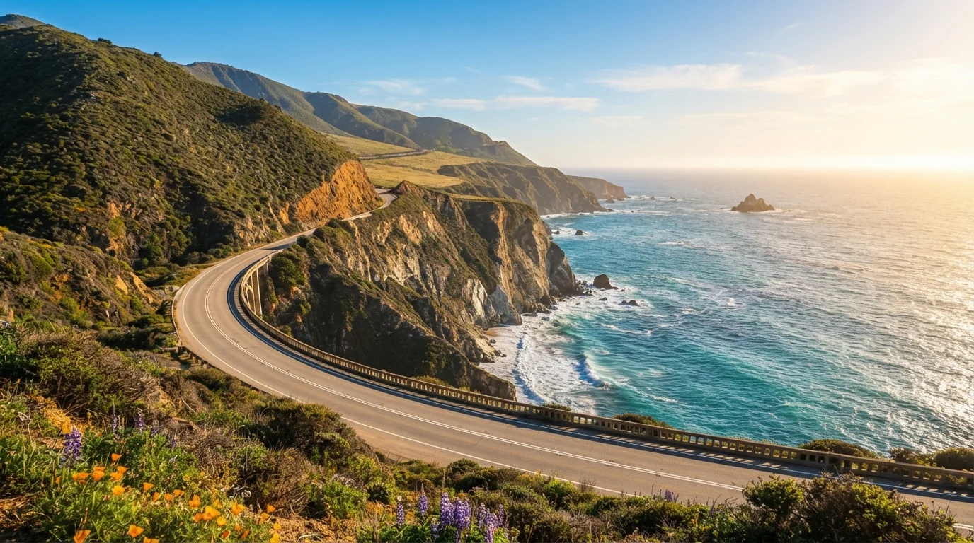
Photo: FaqsDrive.com | Smart Way To Search editorial
—— In This Article
Key Takeaways
- Driving south from San Francisco to Los Angeles gives you ocean views on the passenger side and easier pullout access.
- Late spring and early fall generally offer the most stable driving conditions and thinner crowds.
- Big Sur, Carmel-by-the-Sea, and San Luis Obispo are must-stop towns that reward slower travel.
- Fog, landslides, and coastal construction can close sections of Highway 1 — always check Caltrans conditions before you go.
- Budget for unexpected overnight stays: Big Sur lodging books out fast, especially on weekends.
- A flexible itinerary — not a packed schedule — is the key to actually enjoying the PCH.
What Makes the PCH Worth Planning Carefully
The Pacific Coast Highway — officially California State Route 1 — stretches roughly 655 miles along the California coastline, though most road-trippers focus on the iconic central section between San Francisco and Los Angeles. It's one of the most celebrated drives in North America, threading through redwood forests, past sea-stack beaches, and over engineering marvels like Bixby Creek Bridge.
But the PCH's reputation can work against first-timers. It looks deceptively easy to wing on a map. In practice, the route has real logistical challenges: fuel gaps, spotty cell service, limited lodging, and sections that close without much warning. The reward for planning carefully is enormous — a trip that flows beautifully rather than one spent scrambling for a place to sleep or doubling back on detours. See our trip planning hub for broader strategies that apply beyond this specific route.
What you will need
If you're weighing whether a road trip format even suits your travel style, the road trip vs. fly-and-explore comparison is a useful read before you commit to the PCH.
Step-by-Step: Planning Your PCH Drive
Caltrans QuickMap or Road Conditions Hotline
Check current Highway 1 closures, construction zones, and weather-related delays before and during your trip.
Offline Maps App (e.g., downloaded Google Maps or Maps.me region)
Cell service drops out through much of Big Sur — an offline map ensures you can navigate without a signal.
National Parks Pass (America the Beautiful)
Covers entrance fees to Point Reyes, Channel Islands, and other federal sites you may encounter along the route.
Portable phone charger or car charger
Keeps your navigation and emergency communication devices powered through long stretches without power outlets.
Choose Your Direction and Driving Window
Most experienced PCH drivers recommend traveling south from San Francisco (or Carmel) toward Los Angeles. Heading southbound places you on the ocean side of the road, meaning dramatic cliff and water views are directly out your driver's window — not on the far side of oncoming traffic. Pullouts are also more naturally accessible going this direction.
For your travel window, late May through June and September through October are generally the sweet spots. Summer weekends attract heavy traffic and booked-solid lodging; winter brings heavier fog, rain, and a higher risk of road closures. That said, even ideal months can see fog in the mornings — plan scenic stops for midday or afternoon light.
Pre-Trip Your Vehicle and Emergency Kit
Before any road trip, your vehicle deserves a thorough once-over. Check tire pressure and tread depth, top off all fluids, test your brakes, and make sure your spare tire is inflated and your jack is accessible. Pack an emergency kit that includes a flashlight, jumper cables, a first-aid kit, water, and a blanket. The driver's safety walkthrough covers every item worth confirming before you pull out of the driveway.
Download an offline map of the California coast before leaving a city. Cell coverage disappears almost entirely through the Big Sur corridor — roughly 90 miles of coastline — so you cannot rely on real-time navigation in that stretch.
Plan Your Overnight Stops in Advance
The PCH is not a drive-and-figure-it-out kind of trip — at least not for lodging. Big Sur has a very limited number of campgrounds and inns, and they routinely fill weeks or even months ahead on summer weekends. Identify your intended overnight towns first, then book accommodations before finalizing anything else.
A workable 4-night framework for a San Francisco–to–LA run might look like this:
- Night 1: Carmel-by-the-Sea or Pacific Grove
- Night 2: Big Sur (campsite or lodge)
- Night 3: San Luis Obispo or Cambria
- Night 4: Santa Barbara
For a fuller guide to spacing out your days without burning out, see how to build a realistic day-by-day itinerary.
Identify Your Must-Stop Moments
The PCH is rich with pull-off moments, but a few stand out for first-timers:
- Point Reyes National Seashore (north of San Francisco): dramatic headlands and lighthouse worth a morning detour
- Carmel-by-the-Sea: a walkable village with a white-sand beach and easy access to 17-Mile Drive
- Bixby Creek Bridge: one of the most photographed spans in California — pull into the north turnout for the classic view
- McWay Falls, Julia Pfeiffer Burns State Park: an 80-foot waterfall dropping directly onto a beach; the overlook trail is short and accessible
- Elephant Seal Vista Point (near San Simeon): free, roadside, and genuinely awe-inspiring depending on the season
- Santa Barbara's State Street: a relaxed, walkable downtown to decompress before the final push to LA
If national parks are a priority for your trip, the guide to first-time national park visits has timing and entry tips worth reading before you leave.
Verify Conditions and Adjust on the Fly
Check Caltrans road conditions the night before each driving day — not just at the start of your trip. Highway 1 closures can pop up overnight due to rockfall or emergency repairs. If a section is closed, US-101 runs parallel inland and connects back to the coast at multiple points, so you won't lose the whole day.
Weather apps calibrated to specific coastal zip codes (not just the nearest major city) are more reliable for fog prediction. Apps that pull National Weather Service data for marine layers tend to be more accurate than general consumer weather tools in this corridor.
Embrace the Pullout Culture
California's Highway 1 is lined with official turnouts and vista pullouts specifically designed for photo stops and view appreciation. Use them freely — they're built into the road for a reason. Stopping in a travel lane or on a narrow shoulder is dangerous and illegal in many sections. Slow down, enjoy the scenery, and let faster drivers pass.
Fuel Gaps Are Longer Than You Think
Between Carmel and San Luis Obispo, gas stations are sparse and prices spike significantly. Fill up your tank every chance you get through the Big Sur stretch, and consider carrying a small approved fuel container if your vehicle has a limited range. Running out of fuel on a remote coastal cliff is not a fun detour.
Always Check Road Conditions First
Highway 1 through Big Sur is regularly impacted by landslides, rockfalls, and storm damage. Before you leave, verify current conditions at the California Department of Transportation (Caltrans) website or call 1-800-427-ROAD. Do not assume a route you drove last year is currently open — conditions can change rapidly.
Common Mistakes First-Time PCH Drivers Make
A few patterns trip up new PCH travelers more than any others:
- Overloading the itinerary. The scenery demands time. Drivers who schedule more than 100–120 miles of PCH per day often report feeling rushed and missing the experience entirely. Treat average speeds of 35–45 mph through Big Sur as the rule, not the exception.
- Skipping the inland backup route. US-101 is not a consolation prize. It passes through interesting towns like Paso Robles and Santa Maria, and knowing it exists means a Highway 1 closure doesn't derail your whole trip.
- Underestimating lodging scarcity. Between Carmel and San Luis Obispo, the options thin out dramatically. Book accommodations months ahead for summer travel, not weeks.
- Relying entirely on cell service. Assume you'll have no signal through most of Big Sur and plan accordingly — download maps, share your itinerary with someone at home, and know your next destination before entering the dead zone.
For anyone new to planning trips at this scale, trip planning from scratch walks through the full process in a beginner-friendly format that pairs well with this guide.

Travel & Trips Editorial Team
Travel & Trips Editorial Team is the collective byline for our editorial team and contributor network. Articles published under this byline or an editorial pen name are researched, written, and reviewed according to our editorial standards for clarity, consistency, and independence before publication.
View author profile